01
May

Early Season Weed Control is Critical for Routt County Landowners

By: Hallie Myhre

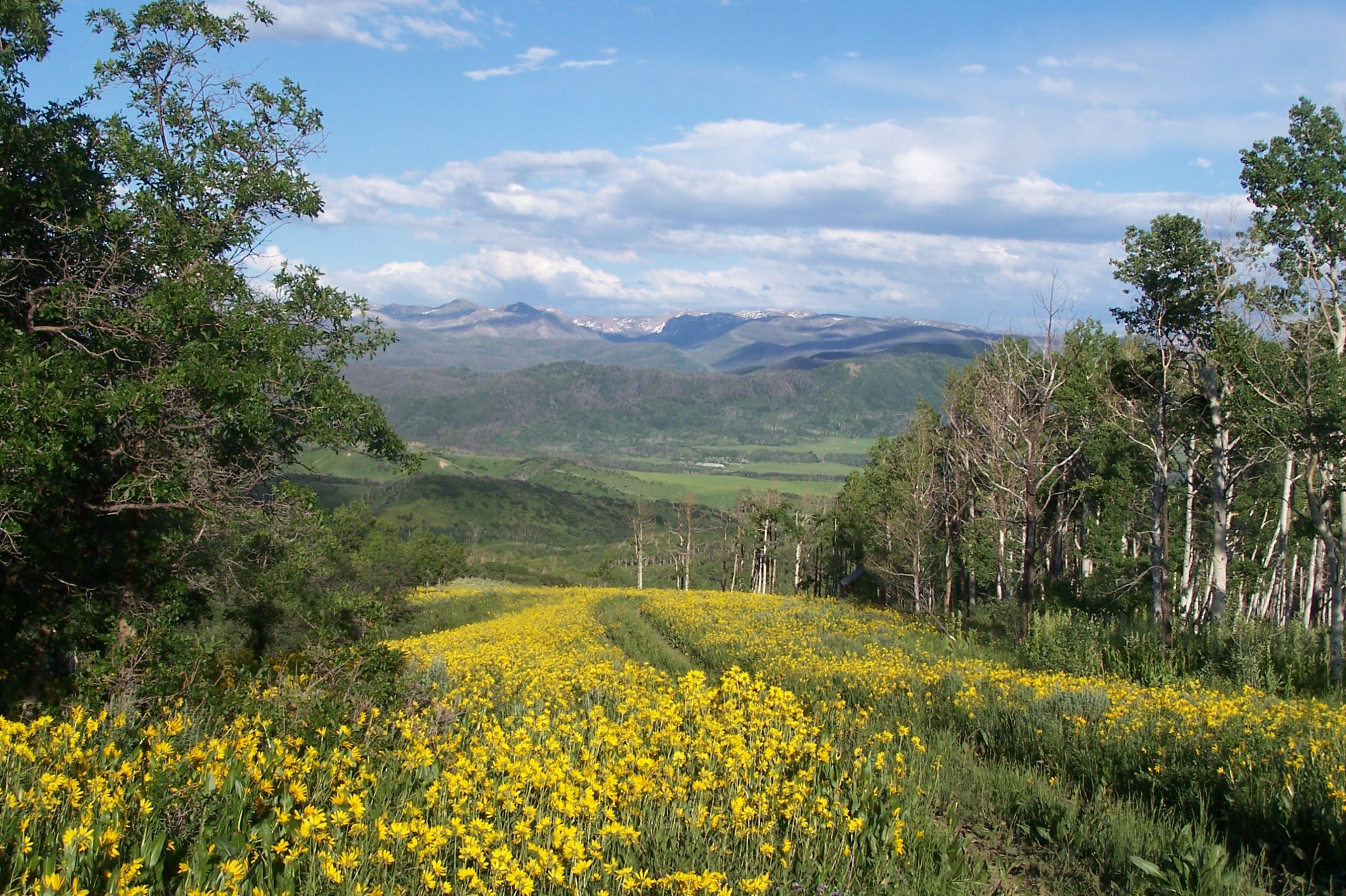
Noxious weeds are one of the most consistent and costly management challenges for landowners in Routt County, and drought conditions are bringing that issue to the forefront earlier than usual. With a drier season and limited water expected in many areas, weeds are emerging ahead of schedule and competing more aggressively with native grasses and forage.

In a typical year, timing matters. In a dry year, it becomes critical. Many of the species commonly found across Routt County, such as houndstongue, musk thistle, Canada thistle, leafy spurge, whitetop (hoary cress), and curly dock, are already beginning their growth cycle. These plants spread quickly, reduce forage quality, and, in some cases, can be toxic or harmful to livestock. Once established, they may not be a one-season fix. Most require a consistent, multi-year approach to bring under control. It is far easier to prevent land from becoming overrun with weeds than it is to rehabilitate ground that has already been taken over.

It is also important to understand the difference between noxious weeds and toxic plants. Noxious weeds are designated by the state or county due to their aggressive growth, ability to spread, and impact on agriculture and native ecosystems. These are the species landowners are typically required to manage. Toxic plants, on the other hand, may not always be classified as noxious, but they can pose a direct risk to livestock, pet and human health if ingested. Some plants fall into both categories, but not all do. For Routt County landowners, being able to identify toxic species is just as important as managing noxious weeds, particularly in drought conditions when livestock may graze less selectively and are more likely to consume plants they would normally avoid.

The most effective strategy is to treat early, before plants mature and go to seed. For biennials like houndstongue and musk thistle, spraying before second-year plants bolt is key. Perennials like Canada thistle and leafy spurge often require repeated treatments and close monitoring throughout the growing season. Follow-up spraying later in the spring or early summer is often necessary to catch regrowth or missed plants. In a year like this, those treatment windows are arriving several weeks sooner than normal.

Landowners should also be aware of how water and irrigation influence both weeds and treatment effectiveness. Avoid spraying when water is actively running through irrigated ground, as it can reduce effectiveness and cause unnecessary runoff. Damp soil conditions are generally acceptable, but active irrigation should be paused if possible. With some areas potentially running out of water as early as mid-May this year, grasses may go dormant sooner, which gives weeds an additional advantage if they are not addressed early.

Routt County landowners also have a responsibility to manage noxious weeds under Colorado law. The county identifies and prioritizes certain species for control, and unmanaged infestations can spread to neighboring properties, irrigation corridors, and public lands. Regular monitoring, early identification, and timely treatment are all part of responsible land stewardship in this area.

Beyond spraying, overall land management plays a role in long-term control. Overgrazed or disturbed ground is more susceptible to weed invasion, particularly in areas with shallow soils or shale. Rotating livestock, managing grazing pressure, and allowing desirable grasses to recover can help reduce future infestations. Strategic haying, such as avoiding heavily impacted patches to allow for natural reseeding, can also support recovery over time.

For those needing equipment, the Routt County Conservation District has a 200 gallon sprayer for rent which can be a practical option for treating larger acreage and the Routt County CSU Extension Office has smaller sprayers that can be checked out for managing weeds on a smaller scale. Consistent application and follow-up are more important than scale, but having the right equipment can make a significant difference in efficiency.

This year, more than most, the key is to act early. Walk the property, identify problem areas, and begin treatment before weeds have the opportunity to mature. A proactive approach now can prevent a much larger and more expensive problem in the seasons ahead, while protecting both the productivity and long-term value of the land.

Additional information can be found online on the Routt County Weed Abatement Program

14
Oct

Routt County Skyline Regulations

by: Hallie Myhre

Having amazing views outside your window is a significant factor people consider when buying or building homes in the mountains. Likewise, no one wants a new neighbor to build a mansion on the top of a mountain or hill in their view corridor. The natural contour of hills and mountains is interrupted by new homes and can impact the views of other landowners and recreationists. Routt County residents were tired of this happening; therefore, in 2002, the county Skyline Development Guidelines were implemented. 

This year I had a property under contract, but one of the conditions of closing was that the buyer wanted to be able to move the building envelope to a more scenic location. The buyer decided a ridge on the parcel with views of the flattops was the ideal building site. However, before she closed on the property, we wanted to ensure the building site would conform with all county regulations, leading us to the county’s skyline regulations. 

What does it mean for a home to be skylined?

According to the Routt County Skyline Development Regulations, if a structure rises above the ridgeline and creates a silhouette against the sky, it would be considered “skylined.” According to the regulations, a building can not be more than 15 feet above the skyline when viewed from county roads within a quarter-mile to three-mile radius. 

Who has to conform to the skyline regulations?

The skyline regulations do not affect the entire county. The section of the county that must conform to the skyline regulations is known as the “skyline applicability area”. The area encompasses Hahn’s Peak, Steamboat Lake, Clark, Willow Creek Pass, Steamboat Springs, Pleasant Valley, Catamount, and Stagecoach. Some areas that are not included in the skyline applicability area are Milner, Hayden, Oak Creek, Phippsburg, Yampa, and Taponas. The map below shows the section of Routt County that the skyline development guidelines affect. 

What does this mean for the landowner who wants to build their dream home with the best views possible?

Before choosing a place to build, a landowner should check to see if your property falls within the skyline applicability area; if it does not, they do not have to conform to the county skyline regulations. Suppose the property is within the skyline applicability area. In that case, you then have to make sure you are not going to build in a location that would skyline your building, and this could impact the particular views they are trying to achieve from the home. 

What does it mean if my property is located within the skyline applicability area?

The county was proactive when they developed this map and did their best to determine all the skylined areas. These areas are shown in red on the map. Improvements built on a property in any non-red area are allowed as the improvement should not be skylined and would not have to conform to skyline regulations. Any improvements built after 2002, in a red area, are likely to be skylined and have to conform with the guidelines set in place by the county. It is common for most to avoid building their home on a skyline. However, if a property owner decides to build in a skyline location, a balloon test must be performed before a building permit can be issued.

What is the balloon test?

The balloon test is conducted by the county planning department to determine if an improvement at a particular location would be skylined. The regulations allow a building to be skylined up to 15 feet. Below is a summary of the balloon test.

1. The location of the lowest point of the potential structure is identified.

2. A 35-foot temporary structure will be placed on this point.

3. A group of brightly colored balloons is placed at the top of the temporary structure. Since 15 feet of the proposed structure is allowed to be skylined, another group of brightly colored balloons is placed 15 feet below the top group of balloons.

4. Planning staff will be on-site to ensure that enough brightly colored balloons are used and placed at the proper height.

5. Once the balloons and height are confirmed, staff will drive the applicable roads within the quarter-mile to three-mile radius of the structure. If the bottom set of balloons (ones located 15 feet below the top set) are backdropped by the sky from any applicable roads for a cumulative distance of one mile, then the proposed structure is skylined. If this is the case, the structure height must be reduced until the bottom set of balloons are not visible, and mitigation measures will be encouraged if the upper balloons are still visible. 

What are mitigation measures?

If the allowed 15 feet of a building is skylined, the county encourages the landowner to soften the appearance of the building on the skyline. Besides the apparent suggestion of making the building shorter or smaller, they have a few other recommendations. For example, use colors and finishes that blend the structure with the surrounding landscape, try incorporating the roofline with other natural features such as rock formations or tree lines, or use vegetation to break up or hide the structure.

Anything else?

When looking to purchase land in Routt County, make sure to ask your agent about the skyline regulations and if it something you need to consider at a particular property.

Written by Hallie Myhre. Information received from Routt County development guidelines.